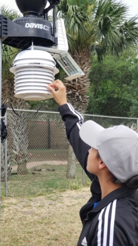
“It’s called Meteorology Emergency Management at South Flight, and one of their missions is to learn about weather, how it’s collected, how it’s disseminated and also learn connections to emergency management,” Sgt Armando Tsukano AFJROTC instructor at Harlingen High School South stated.
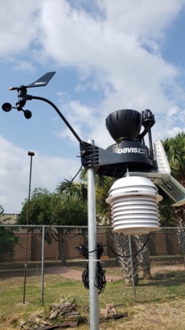
Tsukano said his motivation for the project came from attending a weather festival. “They needed something a little more accurate so I said to them, ‘What would happen if I purchased a weather station and put it at the school?’” Tsukano said. “They were exuberantly happy about that.”
Numerous organizations, including the National Hurricane Center, the Red Cross, Federal Emergency Management Agency and the National Weather Service (NWS), are now logged in to the weather station at South and are receiving up-do-date weather information.
“The Harlingen airport is on the northeast side of the city,” said Chris Birchfield, forecaster. “This alternative weather station at Harlingen South will be of great use to the NWS by filling in a data gap.”
He said the ability to monitor weather conditions at a new location will allow NWS to verify what’s being predicted.
“In the case of severe weather moving across the RGV, this would also allow the NWS to verify any warnings that are issued,” Birchfield said.
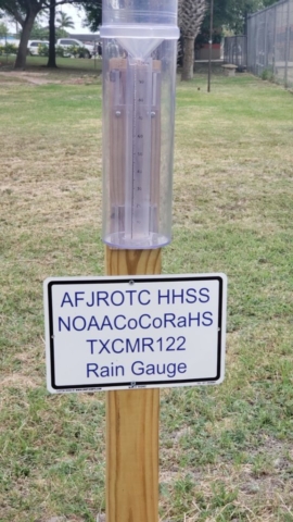
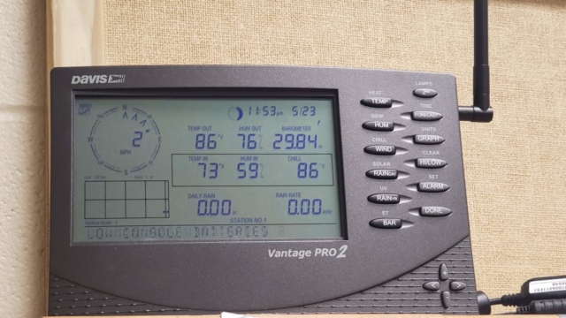
Data being gathered includes wind speed, wind direction, wind chill, dew point, temperature, current rain, total rain, solar radiation, humidity, barometer, and UV Index.
To view live data from the South weather station go to www.weatherlink.com create an account and select weather station AFJROTCWEATHER@SOUTH.


